Maps and maps of transport and attractions in Venice, to get around the lagoon easily. Download them and print them out to take with you on your trip to Venice.
If you are planning your trip to Venice, in the interactive map on this page you can find all the places of interest that we recommend you visit and other useful points for your trip, such as the airport or the other islands in the lagoon like Burano and Murano. Simply click on the markers on the map, or on the list just below, to go to the in-depth information sheets for each point of interest.
Tourist map of Venice
The Municipality of Venice has produced a map of the city with the main points of interest and means of transport. Click on the preview below to enlarge it and download and print it.
Essential for every tourist, the map of the Historic Centre is very useful to plan your itinerary to discover the most beautiful attractions in Venice.
Click to enlarge
Map of the waterways of Venice
In addition, you can download the complete map in PDF of the navigation lines ofVenice directly on the Venice transport page or by clicking on the button below.
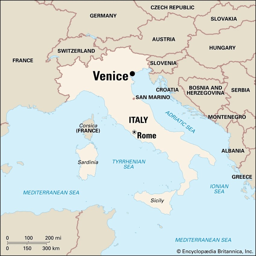
The city of Venice is located in the north-east of Italy: it is situated on the Adriatic Sea, about 10 km from the mainland and 120 km from Trieste. The city is divided into two parts: the historical part, consisting of an archipelago of 118 islands connected by 400 bridges, and the modern part, located on the mainland. Venice is one of the most visited cities in Italy, with around 30 million tourists a year. The city is famous for its canal, the Grand Canal, which crosses the city from north to south. Venice is also known for its carnival, which takes place every year in February and attracts tourists from all over the world.
How to save on transport and entrance fees
City Card allow you to save on public transport and / or on the entrances to the main tourist attractions.
 Village
 Island
 Citta
Citta Attraction
 Airport
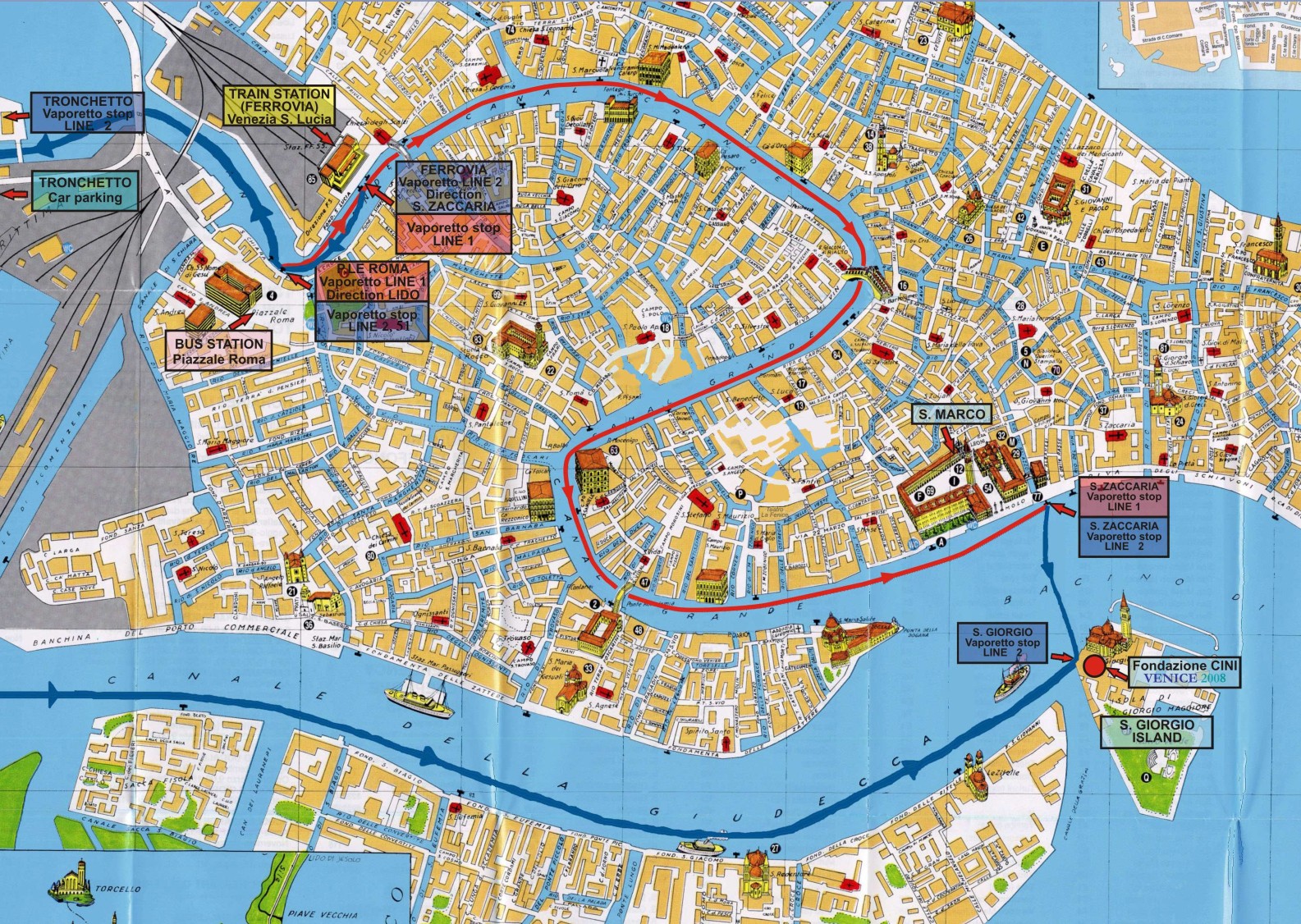
 Hotel
Hotel 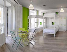 Budget accommodations
 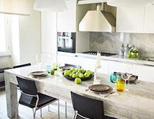 Apartments
 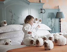 Family Hotel
 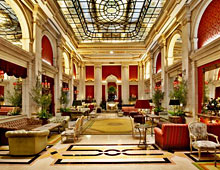 Luxury Hotel
  Resorts